Image archive Image details
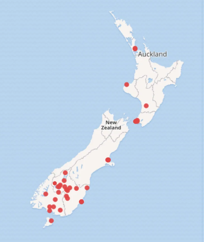
Wikidata-powered New Zealand libraries map, 2019
About this image
A browser-based map created in 2019 from Wikidata and OpenStreetMap, showing New Zealand libraries.
Read the illustrated passage in Early web mapping →
Download the original locally stored image
Attribution
Source and reuse
- Published on
- Wikimedia Commons
- Credit
- Siobhan Leachman (Wikimedia Commons contributor Ambrosia10), 2019
- Image date
- 19 February 2019
- Original file source
- View the source-original image
- Original source filename
- File:Screenshot of openstreetmap map generated by NZ Libraries wikidata query.png
- Original dimensions
- 804 × 954 pixels
- Original SHA-256
7b8f88a5999c17ccfdd437b0357a2488b71e101c7daec48a9602072705c26ef0- Licence
- CC BY-SA 4.0
- Reuse conditions
- Publisher's licence statement
- Display preparation
- Local original stored unchanged; WebP display width up to 1600 pixels and thumbnail width up to 720 pixels, resized without cropping.
- Local copy
- The reader displays a local copy so the image remains available if the original page changes.