Image archive Image details
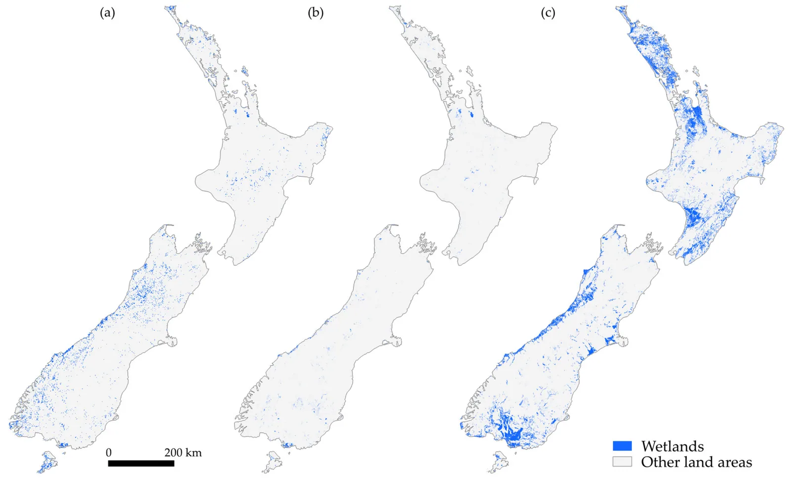
Machine-learning national wetland prediction, New Zealand, 2025
About this image
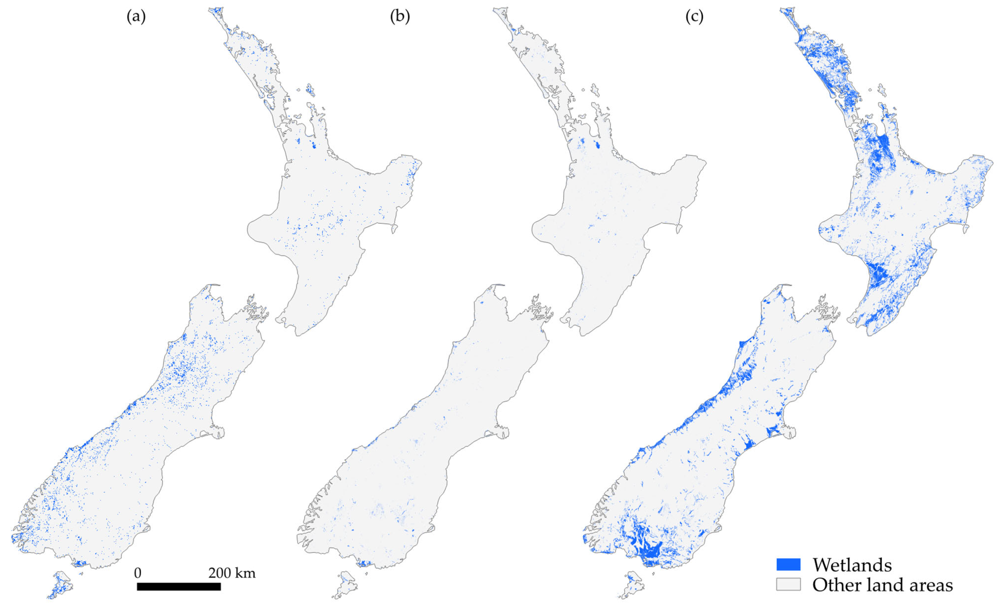
Figure 8 from Khan, Vega-Corredor and Wilson (2025), showing (a) national predictions of wetlands by a histogram gradient boosting model, (b) the LCDBv5 wetland layer and (c) potential wetland area. The study was published 29 July 2025. It must not be described as a LUCAS 2020 result.
Read the illustrated passage in GIS and AI in 2025 →
Download the original locally stored image
Attribution
Source and reuse
- Credit
- Md. Saiful Islam Khan, Maria C. Vega-Corredor and Matthew D. Wilson (2025), Remote Sensing 17(15), 2626, Figure 8, CC BY 4.0
- Image date
- 29 July 2025
- Original file source
- View the source-original image
- Original source filename
- remotesensing-17-02626-g008.png
- Original dimensions
- 4043 × 2462 pixels
- Original SHA-256
94cea971d07065a6c49460781160e673d3029e3999176863f3759bce22c8ddba- Licence
- CC BY 4.0
- Reuse conditions
- Publisher's licence statement
- Display preparation
- Local original stored unchanged; WebP display width up to 1600 pixels and thumbnail width up to 720 pixels, resized without cropping.
- Local copy
- The reader displays a local copy so the image remains available if the original page changes.