Image archive Image details
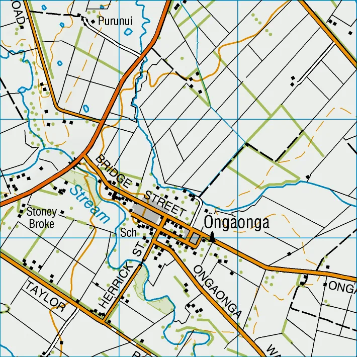
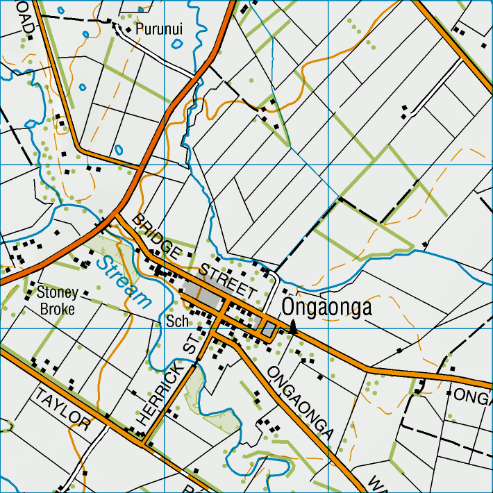
LINZ Topo50 topographic map of Ongaonga, 2020
About this image
An actual LINZ digital-era topographic product useful for comparison with the paper NZMS series. The image represents 2020 mapping, not the initial NZMS260 conversion in 1977.
Download the original locally stored image
Attribution
Source and reuse
- Published on
- Wikimedia Commons
- Credit
- Land Information New Zealand; Topo50 sheet BL37 Ongaonga
- Image date
- 2020 map; source uploaded December 2025
- Original source filename
- File:Ongaonga map.png
- Original dimensions
- 710 × 710 pixels
- Original SHA-256
fcf681c706a06f0482c640b06f360b74032a5b542f70160ee00fd7efd725f855- Licence
- CC BY 4.0
- Local copy
- The reader displays a local copy so the image remains available if the original page changes.