Image archive Image details
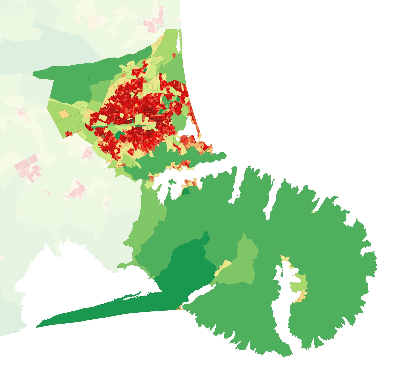
QGIS 2024 GIS population-density map of Christchurch City, using Stats NZ 2023 Census data
About this image
Verified contemporary GIS mapping based on national census geography, not a map produced by the earlier project.
Read the illustrated passage in Council GIS →
Download the original locally stored image
Attribution
Source and reuse
- Credit
- Vardion; Stats NZ census spatial data
- Image date
- October 2024 (2023 Census)
- Original file source
- View the source-original image
- Original source filename
- 2023_NZ_Census_Population_Density_-_Christchurch_City.png
- Original dimensions
- 2234 × 2138 pixels
- Original SHA-256
48cbc93a2d8a6fb6cc053b9e3268859375d33ba2456c8ce62f777e1edc0bb424- Licence
- CC BY 4.0
- Reuse conditions
- Publisher's licence statement
- Display preparation
- Publisher original preserved unchanged locally; WebP reading and card versions resized without cropping. Captured software date and case-study context remain qualified.
- Local copy
- The reader displays a local copy so the image remains available if the original page changes.