Image archive Image details
Retrolens historic aerial photograph: Invercargill, Verdon College area (1956)
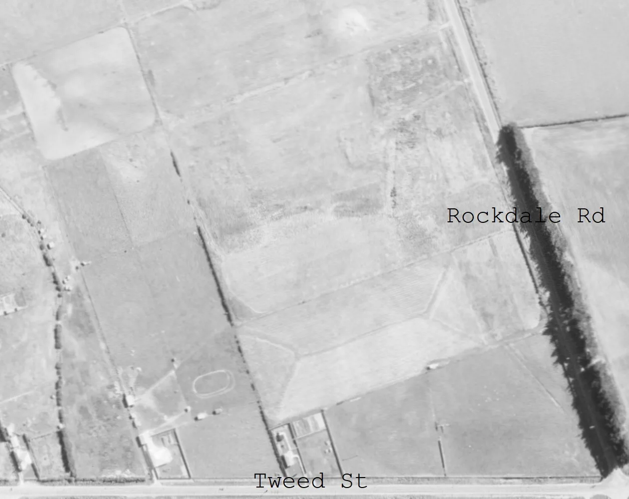
About this image
The scanned aerial photograph was sourced from Retrolens by its Commons contributor. The uploaded image may have been cropped or annotated; it is stored unchanged from that published Commons source and does not purport to be the untouched film negative.
Download the original locally stored image
Attribution
Source and reuse
- Credit
- Southland Regional Council; NZ Crown; Retrolens / LINZ and credited rights holders per the linked original file page
- Image date
- 1956
- Original file source
- View the source-original image
- Original source filename
- File:1956 aerial image of Verdon College site.jpg
- Original dimensions
- 1261 × 1001 pixels
- Original SHA-256
d00091b968779d1dd3b9007b92cab2c331b17d01a58b5a187efe9c824cd10ad9- Licence
- CC BY 3.0
- Reuse conditions
- Publisher's licence statement
- Display preparation
- The verified Commons upload is preserved unchanged, with separate uncropped WebP derivatives. The upload may differ from the original Crown negative.
- Local copy
- The reader displays a local copy so the image remains available if the original page changes.