Image archive Image details
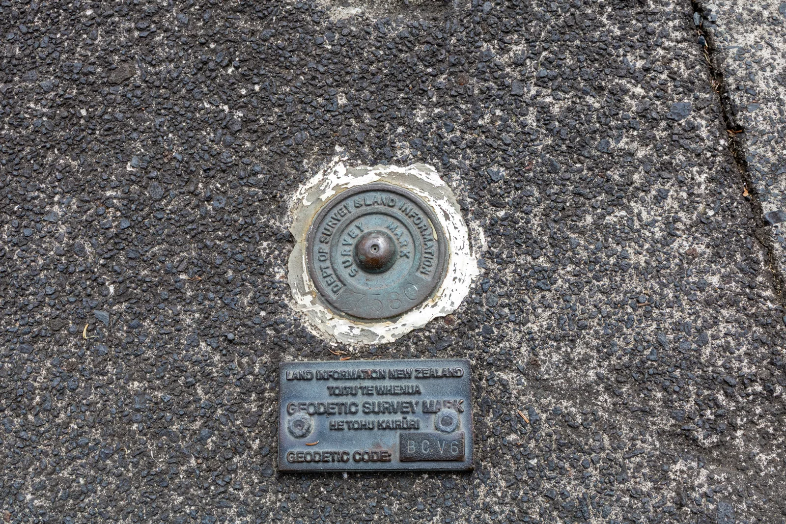
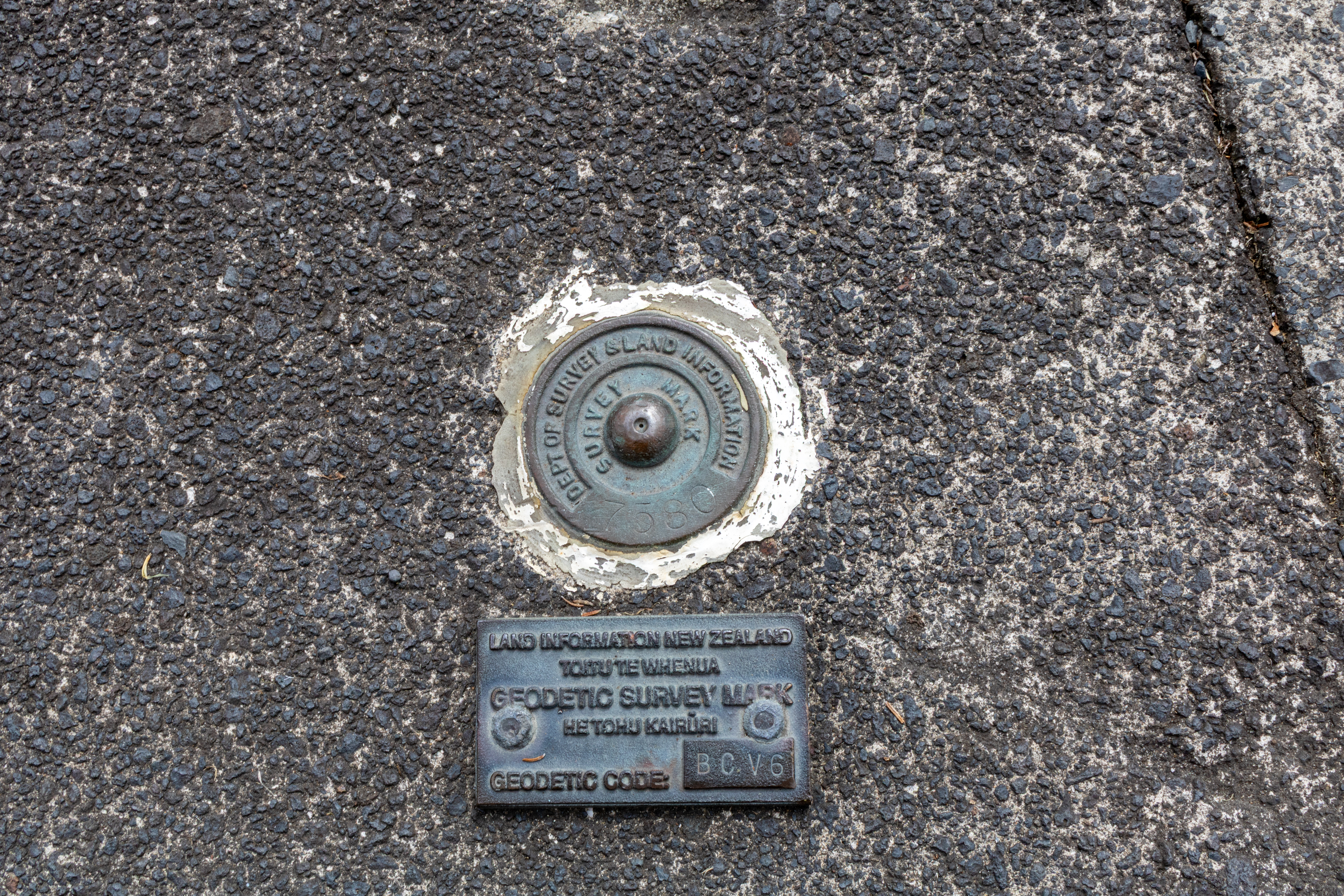
Geodetic survey mark outside The Riverhead, Auckland
About this image
Illustrates the visible survey marks used to relate measured positions to geodetic reference frameworks. The mark's actual NZGD2000 status has not been checked and must not be asserted.
Download the original locally stored image
Attribution
Source and reuse
- Published on
- Wikimedia Commons
- Credit
- Bojan Jankuloski (Bjankuloski06)
- Image date
- 24 February 2025
- Original source filename
- File:Geodetic survey mark, The Riverhead.jpg
- Original dimensions
- 6000 × 4000 pixels
- Original SHA-256
46e8d4e02606c35cc90cb9fad1ac0f37f0ca398fe4fcc1f6704816a0d3c03819- Licence
- CC BY 4.0
- Local copy
- The reader displays a local copy so the image remains available if the original page changes.