Image archive Image details
Ruapehu terrain visualised with satellite and radar data, 2002
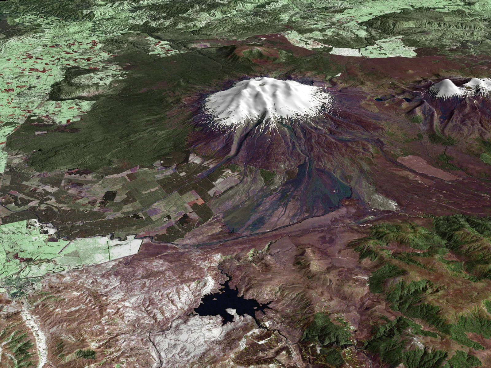
About this image
Illustrates genuine 3D elevation modelling; retain the existing chapter image as a separate asset and do not mistake this for a photograph from an aircraft.
Download the original locally stored image
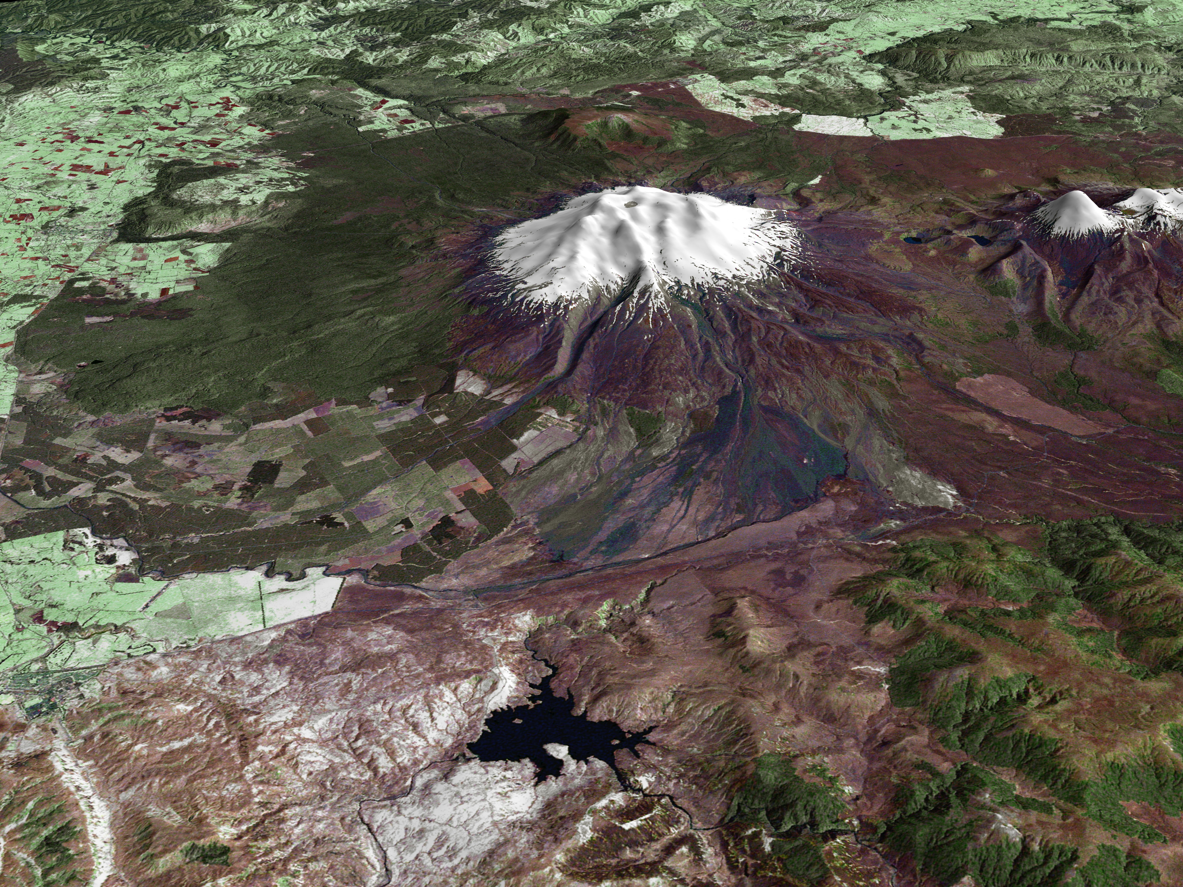
Attribution
Source and reuse
- Published on
- Wikimedia Commons
- Credit
- NASA Earth Observatory; Landsat processing Laura Rocchio; Shuttle Radar Topography Mission team / NASA/JPL/NIMA
- Image date
- 23 October 2002
- Original source filename
- File:MtRuapehu 23oct2002.jpg
- Original dimensions
- 4500 × 3375 pixels
- Original SHA-256
b286a47d09deff7f77ce1de5dc4d7db26e1e21fc59f2d50d1fbad665e7114592- Licence
- Public domain (NASA)
- Local copy
- The reader displays a local copy so the image remains available if the original page changes.