Image archive Image details
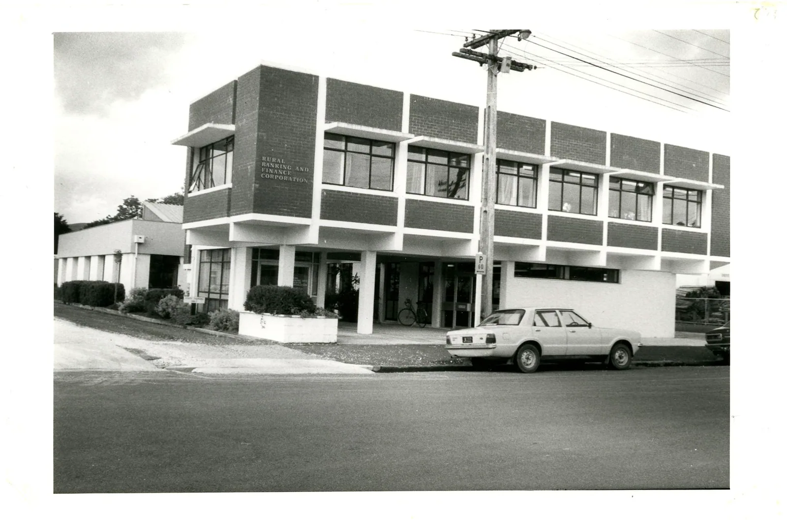
Te Kuiti Land Development Office, 1974–1984
About this image
The Archives New Zealand description identifies this as the building occupied by the Te Kuiti Land Development Office during 1974–1984; the photograph date is not specified. It shows a provincial land-administration office, not the national cadastral database team or a GIS workplace.
Read the illustrated passage in Government GIS →
Download the original locally stored image
Attribution
Source and reuse
- Published on
- Wikimedia Commons
- Credit
- Archives New Zealand; photograph by an unidentified photographer; via Wikimedia Commons.
- Image date
- Building occupied 1974–1984; photograph date unknown
- Original file source
- View the source-original image
- Original source filename
- File:Te Kuiti Land Development Office, 1974 - 1984 (28795220472).jpg
- Original dimensions
- 1930 × 1275 pixels
- Original SHA-256
104fa3898340949a166e4ae8f3fab9311dbcc4dbd8a3b6811214965259327827- Licence
- CC BY-SA 2.0
- Reuse conditions
- Publisher's licence statement
- Display preparation
- The locally stored source file is unchanged. Responsive display and card derivatives are resized without cropping and follow the source licence; share-alike terms apply where required.
- Local copy
- The reader displays a local copy so the image remains available if the original page changes.