Image archive Image details
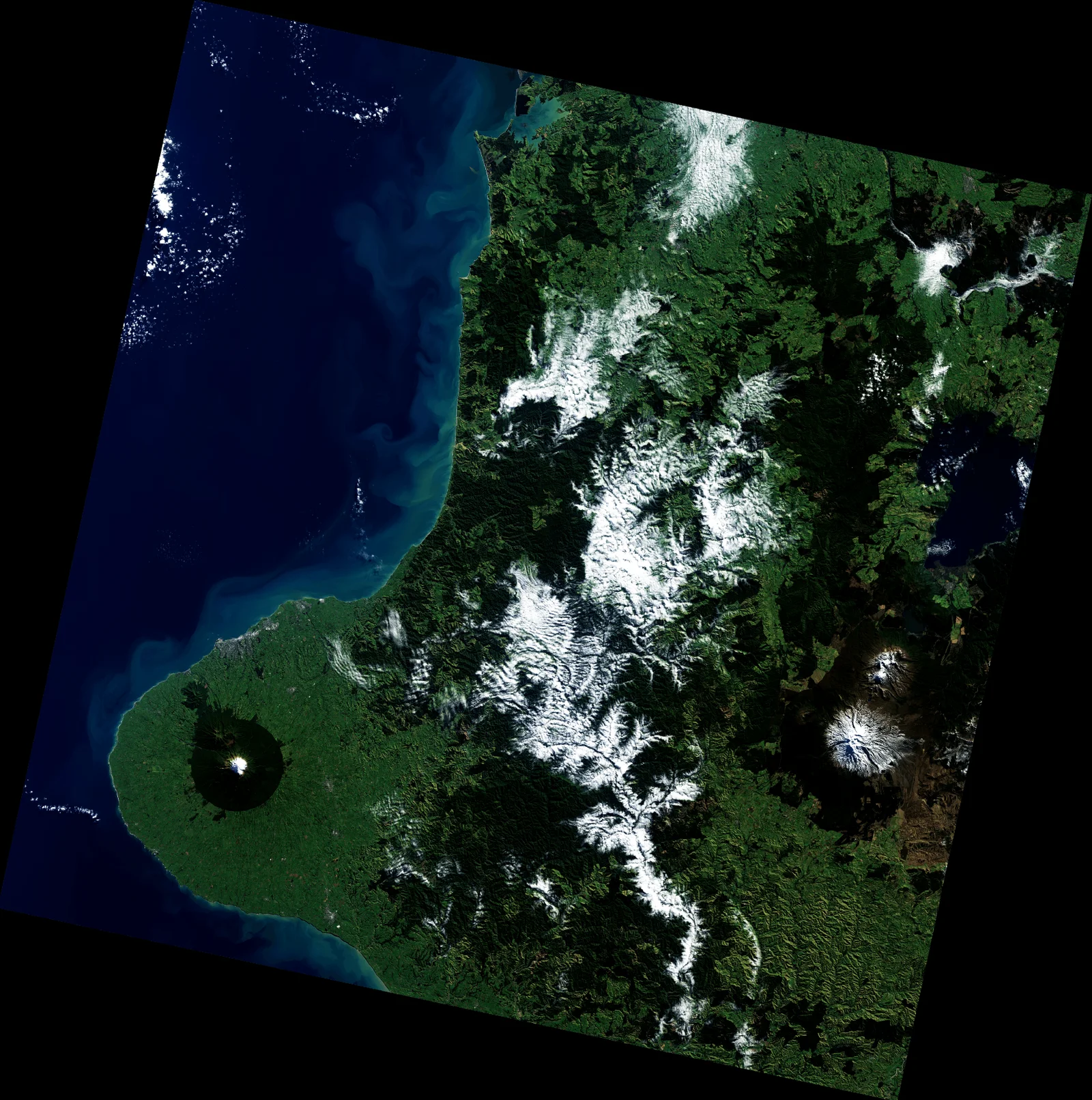
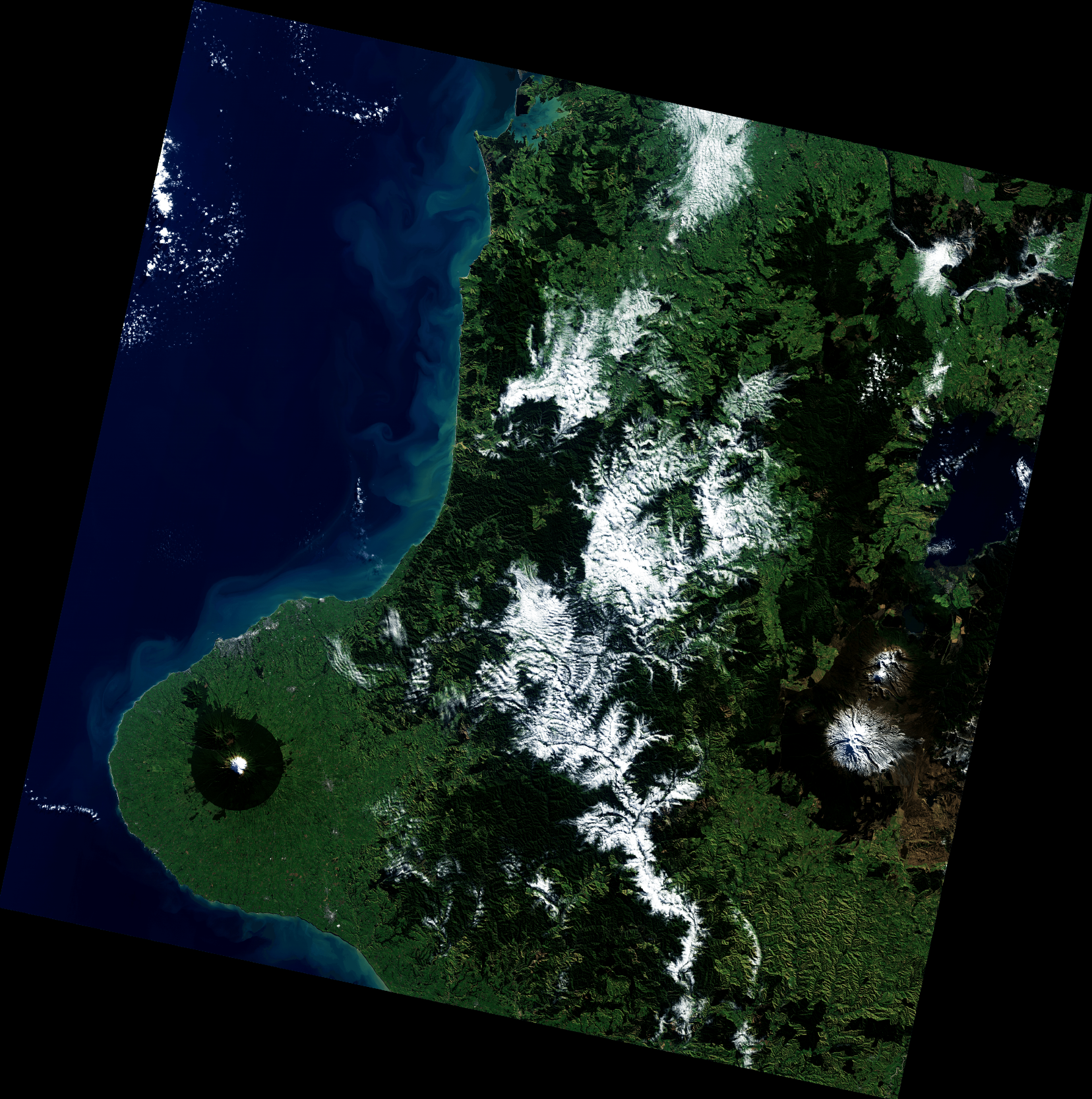
USGS Landsat archive 100 millionth download, New Zealand, 2017
About this image
Primary dated Earth observation and satellite data product. The actual source image is preserved locally for this historical comparison.
Read the illustrated passage in Satellite observations →
Download the original locally stored image
Attribution
Source and reuse
- Published on
- U.S. Geological Survey
- Credit
- U.S. Geological Survey, Landsat 8
- Image date
- 2017-05-24
- Original file source
- View the source-original image
- Original source filename
- USGS Landsat archive 100 millionth download, New Zealand, 2017
- Original dimensions
- 1656 × 1667 pixels
- Original SHA-256
424aa4193617c733721d7927f1543d1ccb587c3c4218e2ea8bacf5e3f5ffe13c- Licence
- Public domain (USGS)
- Reuse conditions
- Publisher's licence statement
- Display preparation
- Original NASA/USGS download bytes retained; uncropped web and card WebP copies generated.
- Local copy
- The reader displays a local copy so the image remains available if the original page changes.