Image archive Image details
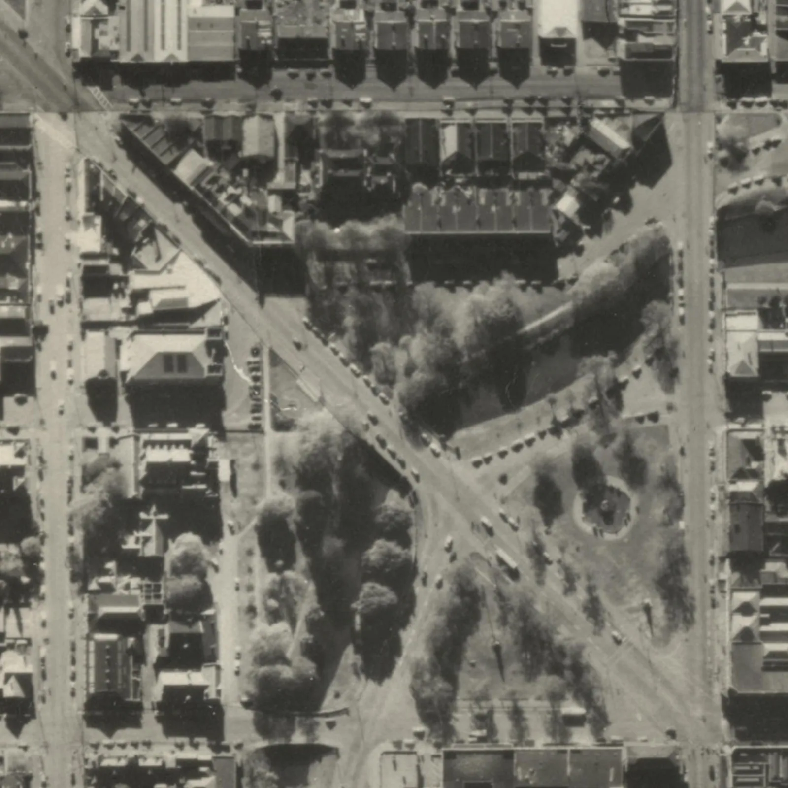
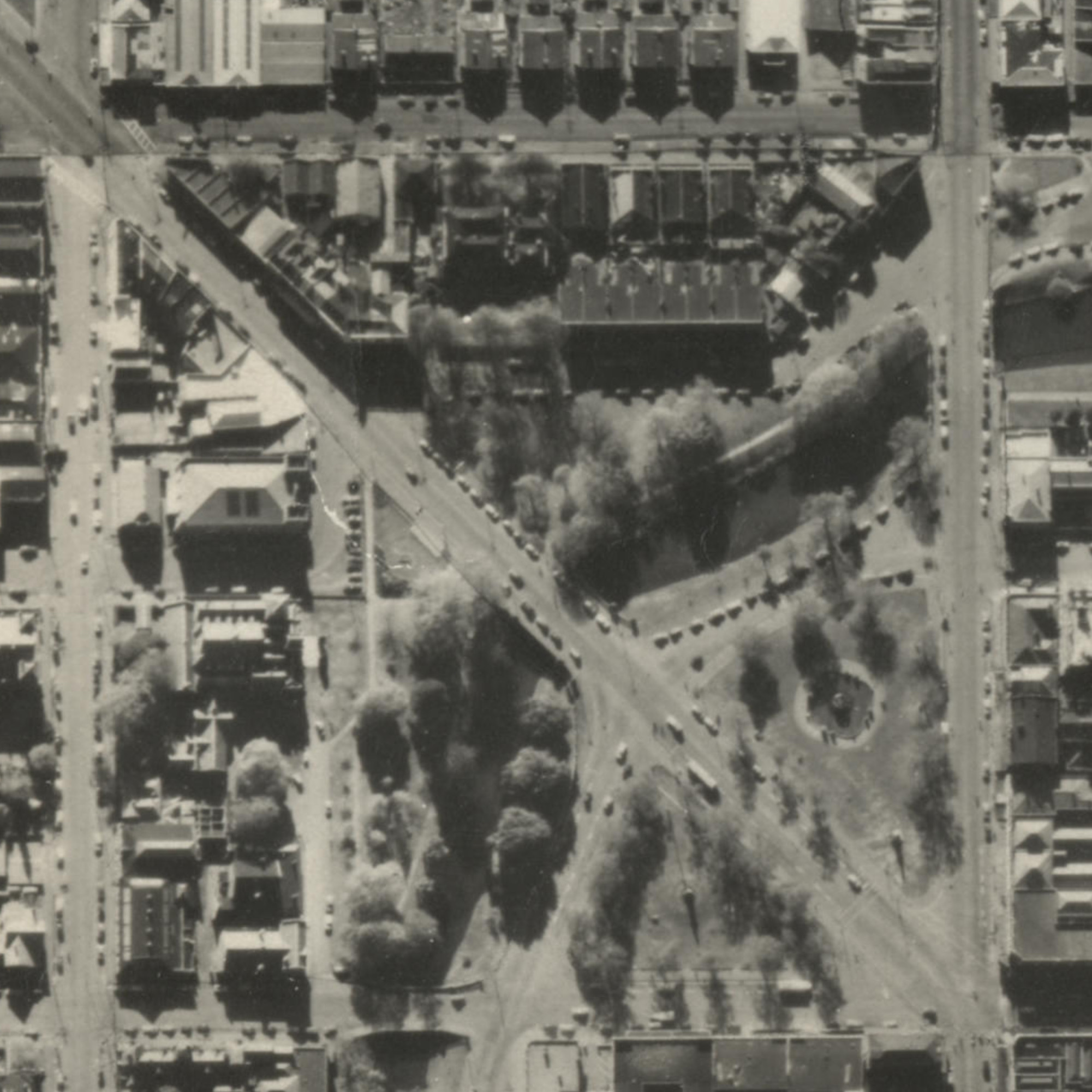
Victoria Square, Christchurch, in 1955 aerial imagery
About this image
A concrete example of local government's preservation and digital delivery of historical aerial data. This image is not a 1990s GIS screenshot.
Download the original locally stored image
Attribution
Source and reuse
- Published on
- Wikimedia Commons
- Credit
- LINZ; New Zealand Aerial Mapping; New Zealand Aerial Surveys; RNZAF; Canterbury Maps
- Image date
- 1955 (approximately)
- Original source filename
- File:VicSq-Aerial-1955.jpg
- Original dimensions
- 2001 × 2001 pixels
- Original SHA-256
290fcd447fb91ed2fbafc7507fa49f9204e91b693a8cb49f8e995e4f312c55a0- Licence
- CC BY 3.0
- Local copy
- The reader displays a local copy so the image remains available if the original page changes.