Image archive Image details
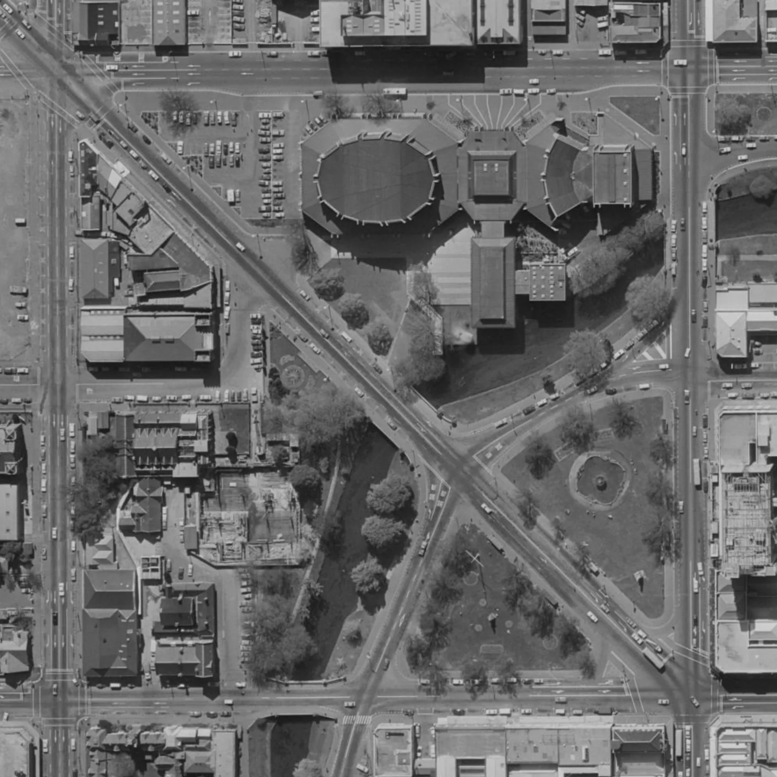
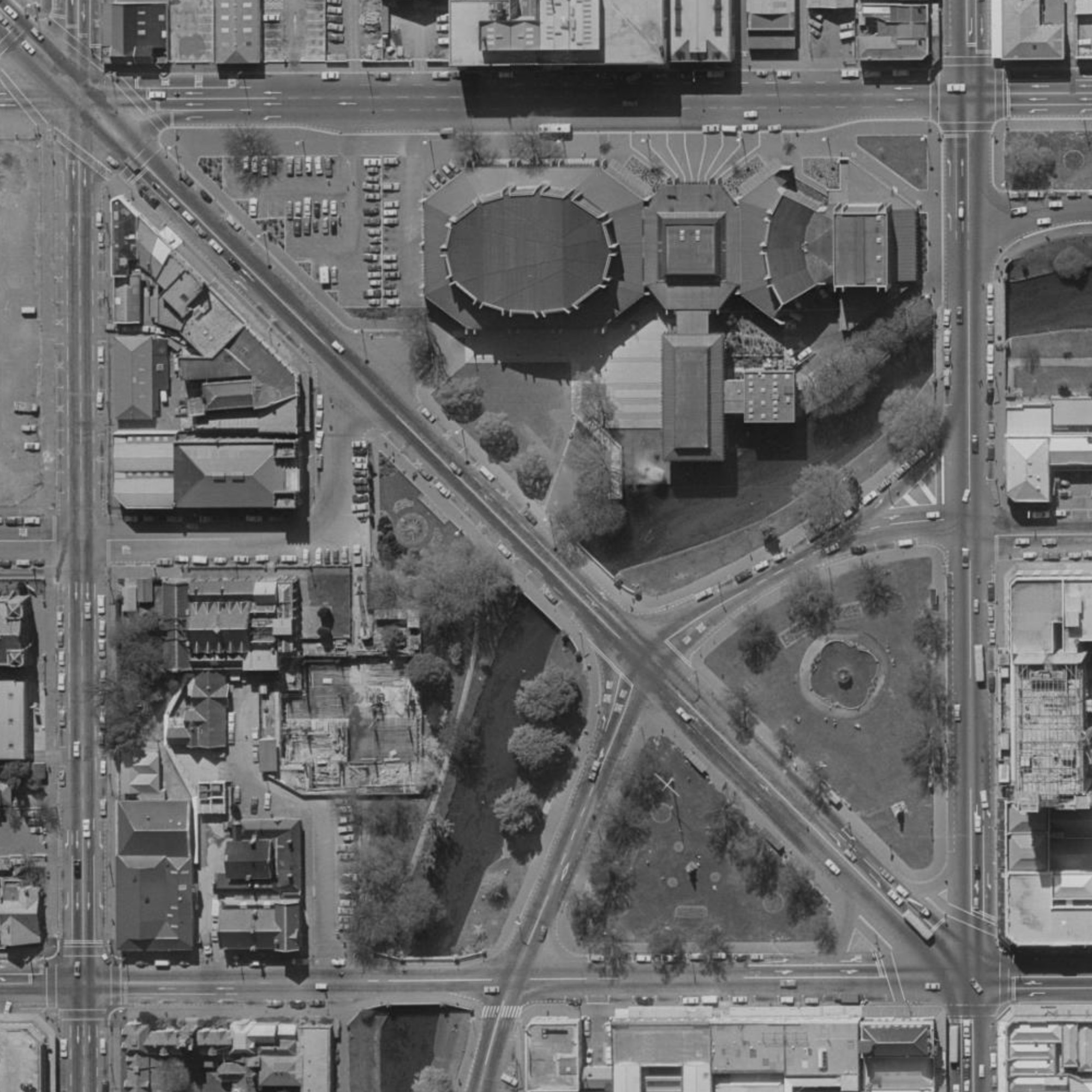
Victoria Square aerial image, Christchurch, 1975
About this image
This 1975 aerial image predates the Te Maari eruption and was not part of the 2012 UAV survey described here. It provides an earlier aerial-imaging comparison.
Read the illustrated passage in Drone mapping →
Download the original locally stored image
Attribution
Source and reuse
- Published on
- Wikimedia Commons
- Credit
- Land Information New Zealand, New Zealand Aerial Mapping, New Zealand Aerial Surveys and the Royal New Zealand Air Force; via Wikimedia Commons.
- Image date
- 1975
- Original file source
- View the source-original image
- Original source filename
- File:VicSq-Aerial-1975.jpg
- Original dimensions
- 2001 × 2001 pixels
- Original SHA-256
c1541fc6f450fe8d628b903fd25c2a17c0e014d7be3085874d6e2258f040561c- Licence
- CC BY 3.0
- Reuse conditions
- Publisher's licence statement
- Display preparation
- The locally stored source file is unchanged. Responsive display and card derivatives are resized without cropping and follow the source licence; share-alike terms apply where required.
- Local copy
- The reader displays a local copy so the image remains available if the original page changes.