Image archive Image details
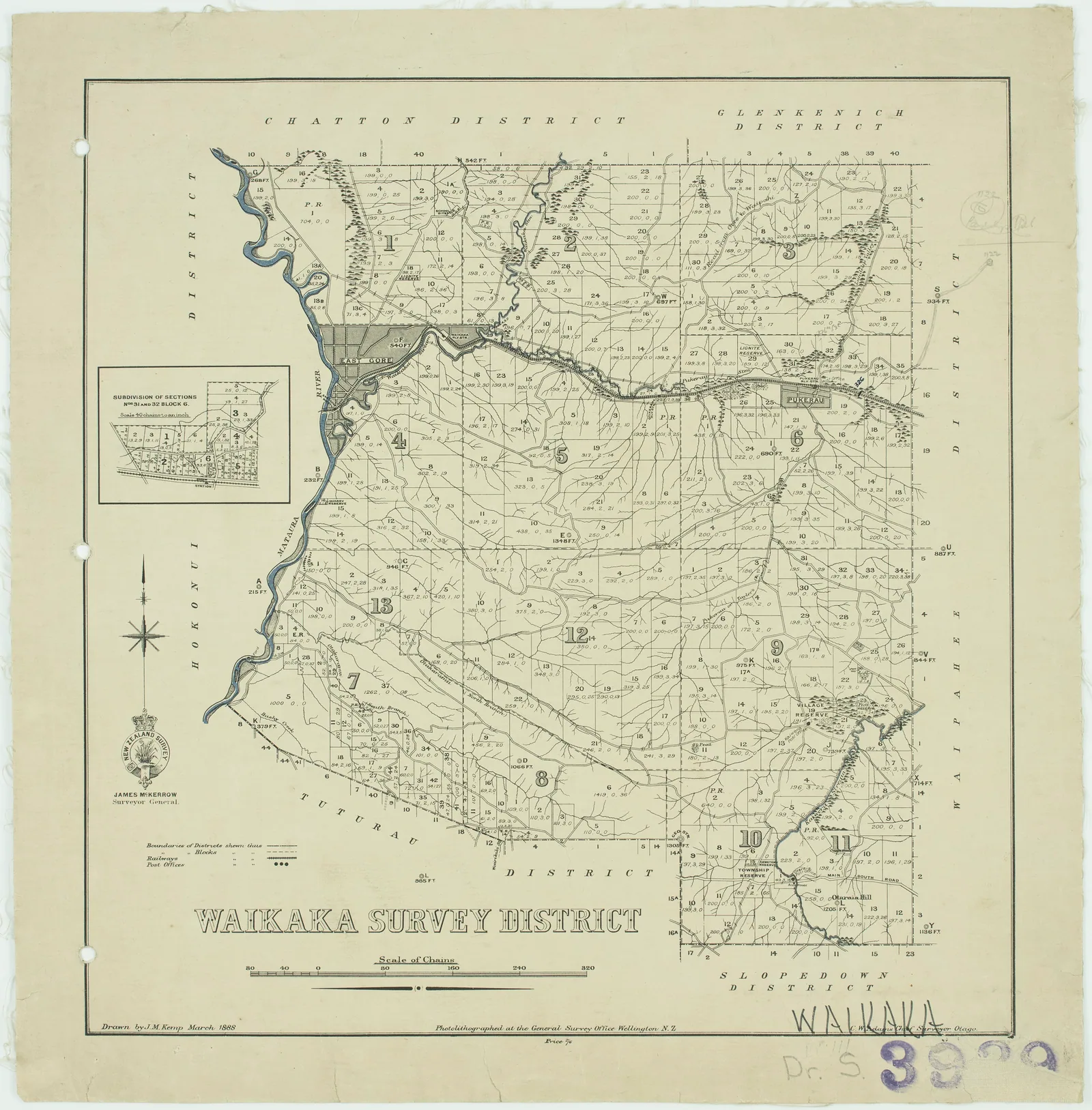
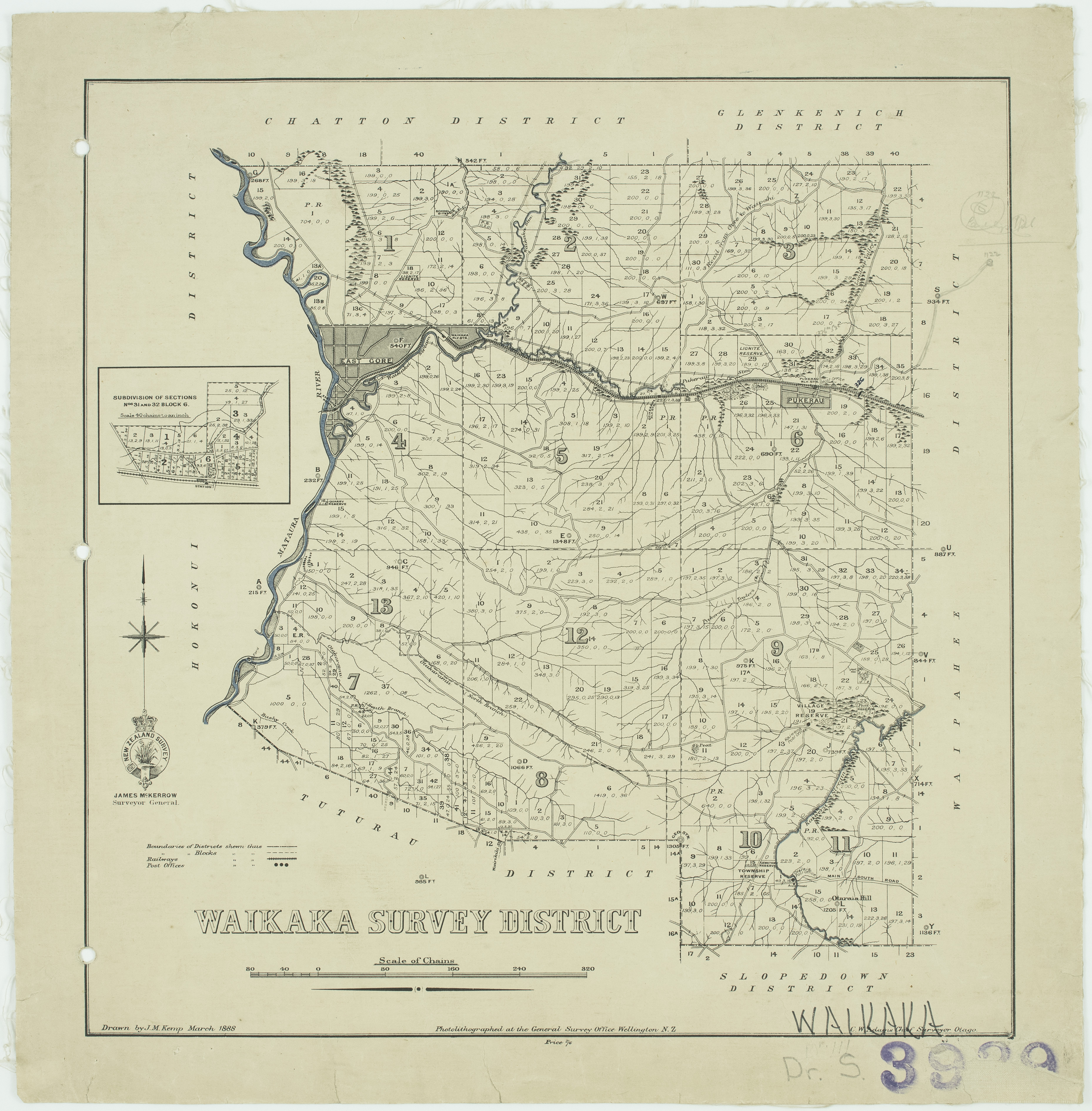
Waikaka Survey District cadastral map, 1888
About this image
An original cadastral mapping product rather than a reconstructed GIS example. Source archive reference is printed in the source record.
Download the original locally stored image
Attribution
Source and reuse
- Published on
- Wikimedia Commons
- Credit
- Drawn by J. M. Kemp; Archives New Zealand, DABB D101 423/IN 3939 (R6617915)
- Image date
- March 1888
- Original source filename
- File:Waikaka Survey District.jpg
- Original dimensions
- 3714 × 3777 pixels
- Original SHA-256
44660f4ffda6193635c99e75147ba8fd51076ab5aed6f8b7a96a1880e2110582- Licence
- CC BY 2.0
- Local copy
- The reader displays a local copy so the image remains available if the original page changes.