Image archive Image details
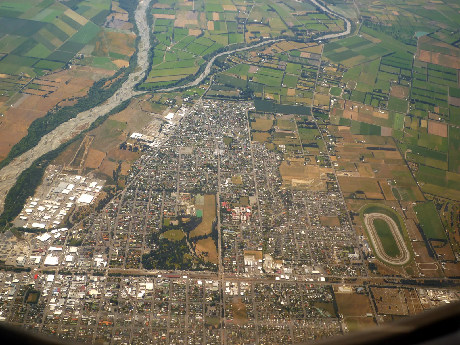
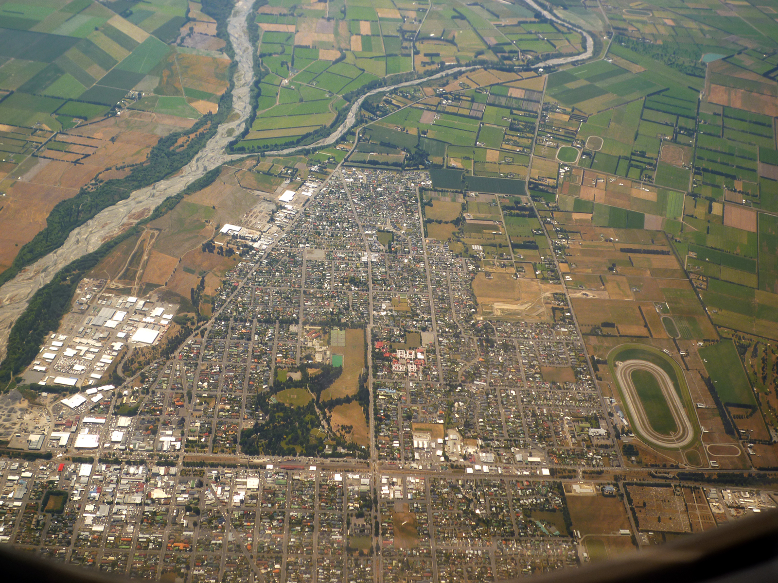
Ashburton NZ aerial
About this image
A named and source-verified historic New Zealand map, aerial photo, Landsat observation or USGS earthquake map. Presented as period material; no claim that it depicts an original New Zealand GIS workstation or implementation.
Download the original locally stored image
Attribution
Source and reuse
- Published on
- Wikimedia Commons, original archival file
- Credit
- Andrew Cooper; Wikimedia Commons original source record
- Image date
- 2009
- Original file source
- View the source-original image
- Original source filename
- File:Ashburton NZ aerial.jpg
- Original dimensions
- 1600 × 1200 pixels
- Original SHA-256
78b5c9545f195bcffcd9706e9a7a6104cd9a75599b348252b49fe3b66ff0de9b- Licence
- CC BY-SA 4.0
- Reuse conditions
- Publisher's licence statement
- Display preparation
- Original Wikimedia-hosted upload archived unchanged; separate uncropped WebP derivatives retained.
- Local copy
- The reader displays a local copy so the image remains available if the original page changes.