Image archive Image details
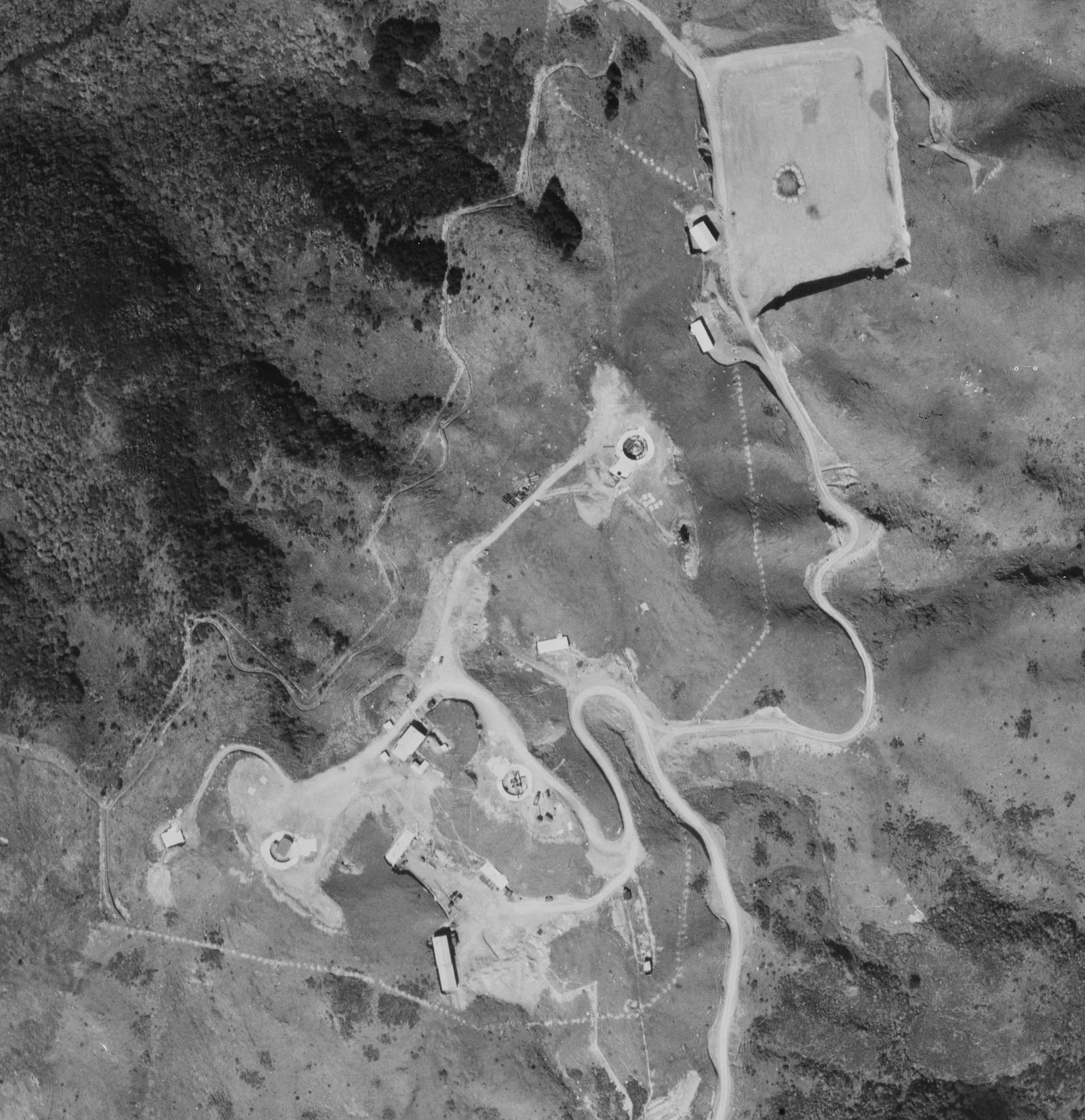
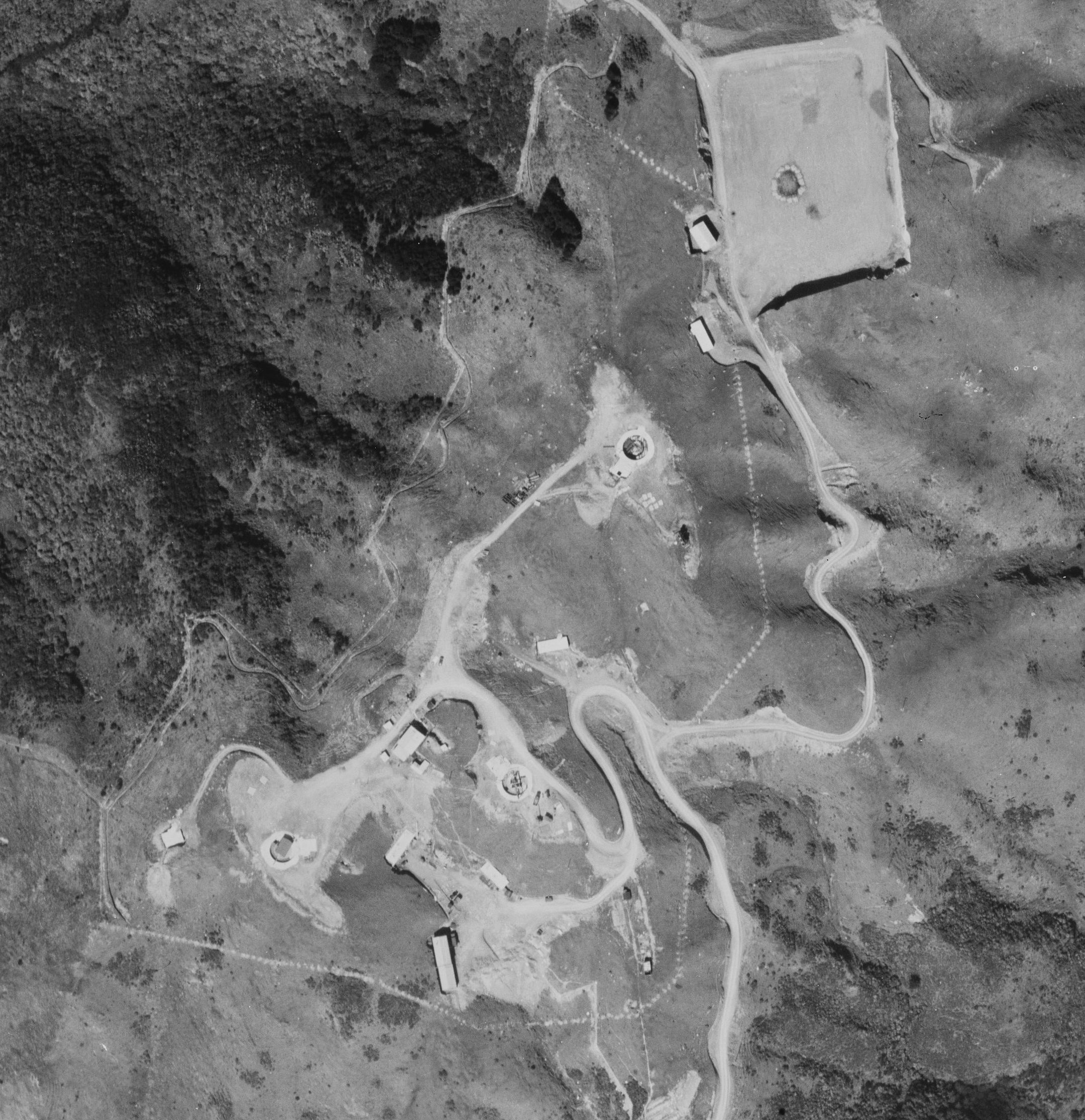
Aerial survey of Wrights Hill, Wellington, 1945
About this image
Useful evidence of systematic national aerial surveying and the images later digitised for GIS. The original capture survey and frame are known.
Download the original locally stored image
Attribution
Source and reuse
- Published on
- Wikimedia Commons
- Credit
- Retrolens / New Zealand historic aerial survey SN373, Run B, Photo 15; original photographer unidentified
- Image date
- 28 September 1945
- Original source filename
- File:Wright Hill Fortress aerial photo 1945.jpg
- Original dimensions
- 2163 × 2233 pixels
- Original SHA-256
42ad1acaff990d76b063e47d8d25ea45d2900547cde496db5ccf7f6a3b0e8057- Licence
- CC BY 3.0
- Local copy
- The reader displays a local copy so the image remains available if the original page changes.