Maps before computers
Explore the survey plans, aerial photographs and census boundaries that preceded digital mapping.
Read chapterThe maps, machines and people behind
New Zealand’s geographic information systems.
Explore the history
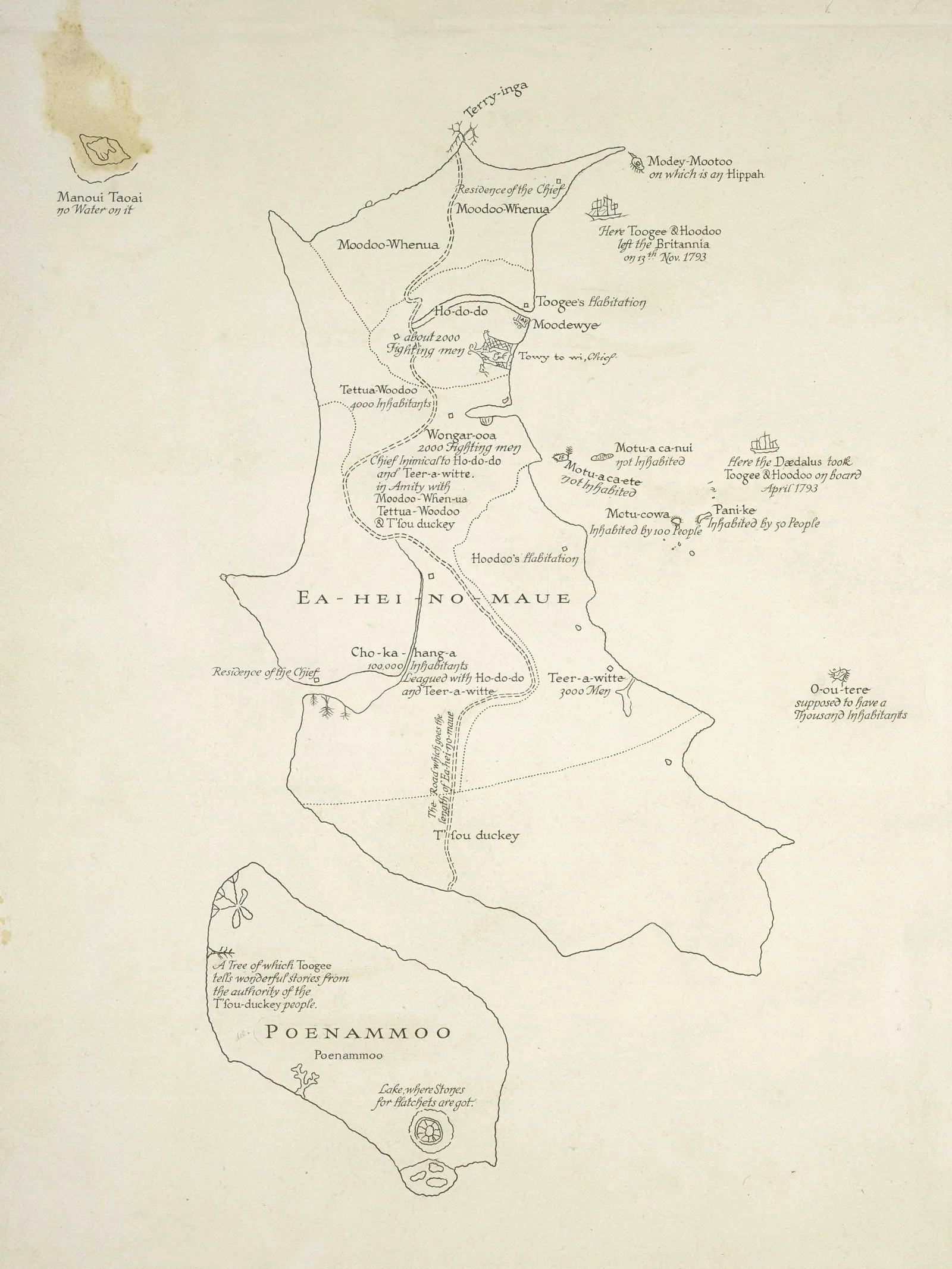
Explore the survey plans, aerial photographs and census boundaries that preceded digital mapping.
Read chapter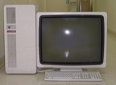
The equipment, software and growing community that brought geographic information onto the computer.
Read chapterWhere to begin
Read the history from the beginning, follow a decade of change or examine the original publications. For a concise chronological overview, read A short history of GIS in New Zealand.
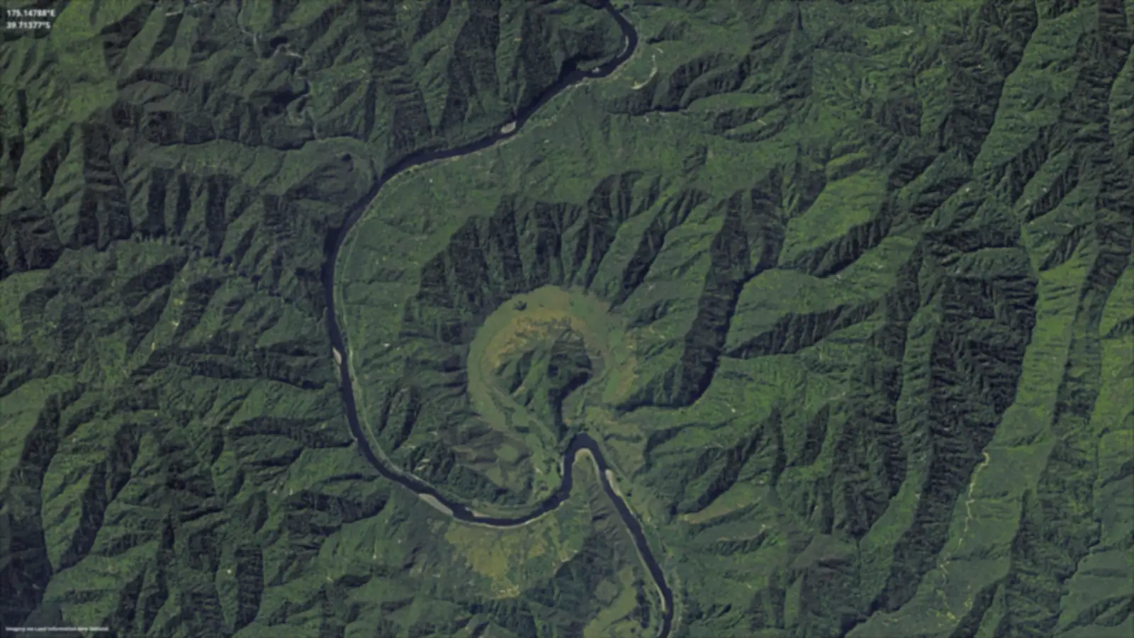
Seeing the land differently
Aerial surveys, satellite imagery and later LiDAR changed how New Zealand's landscapes could be recorded and analysed. Follow the changing techniques, and the people who put them to work.
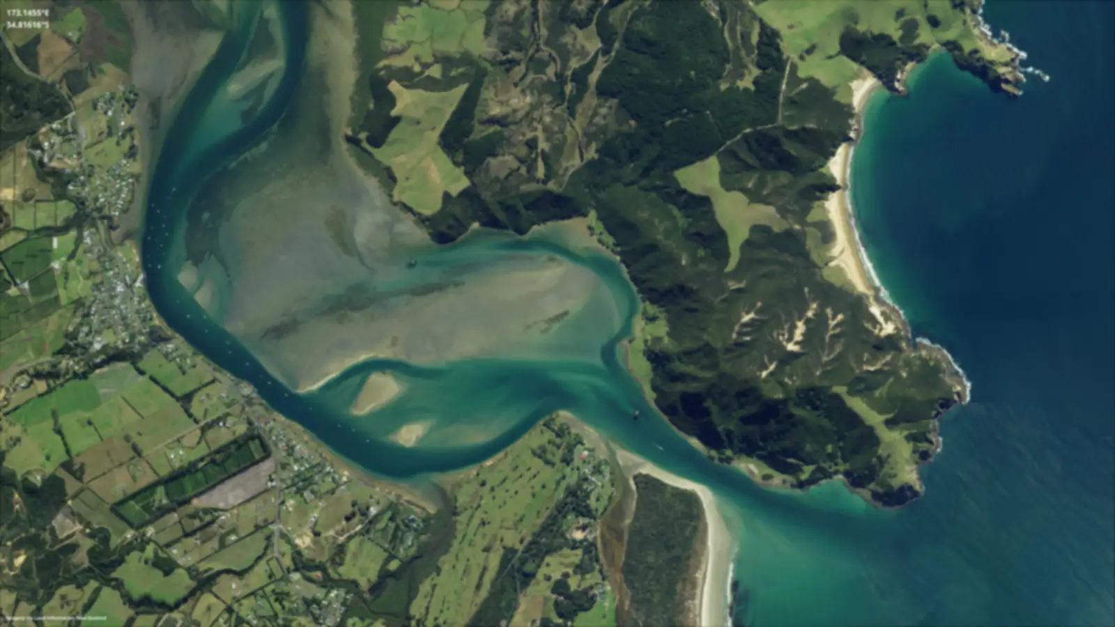
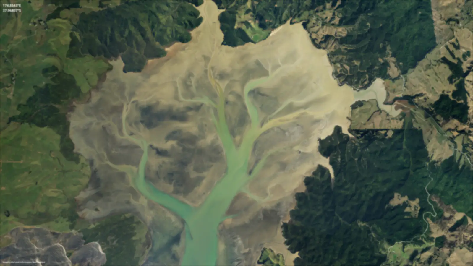
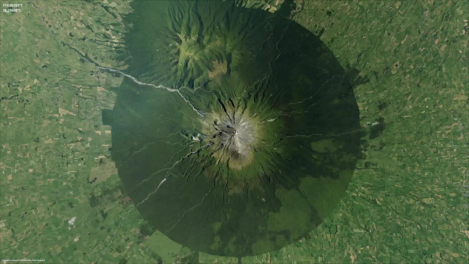
Explore aerial photography and imageryAtene · supplied North Island landscape imagery, 2024
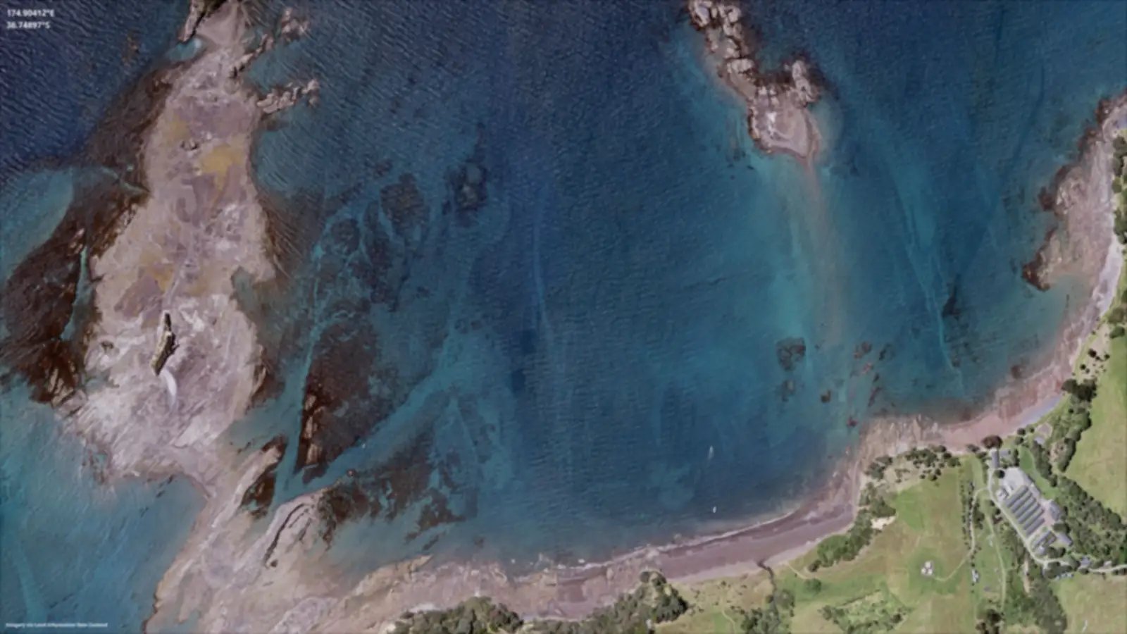
Behind the maps
Surveyors, programmers, cartographers, researchers and communities helped shape GIS in New Zealand. Explore their work through the organisations, projects and historical accounts that connect them.
History through 31 December 2025