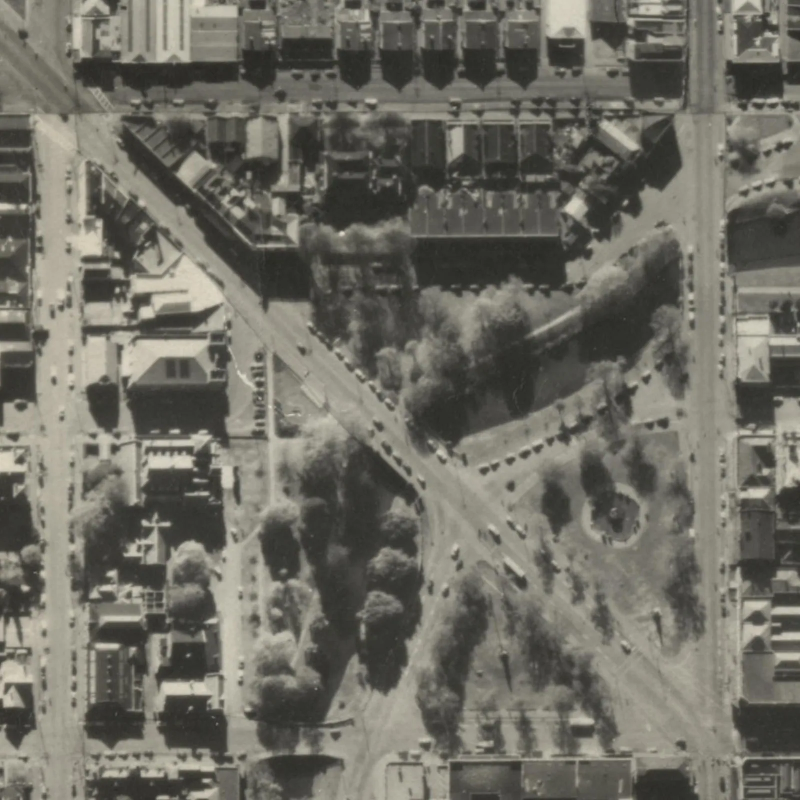
Building roof-outline geometries preserved across successive aerial-imagery captures since the 2019 programme.
The All Sources dataset retains building outlines extracted from different aerial-photograph vintages, with capture-source dates and lifecycle information that allow users to compare individual areas over time.
It is a separate product from the current NZ Building Outlines layer. Multiple versions may represent the same building and should not be summed as a count of buildings.