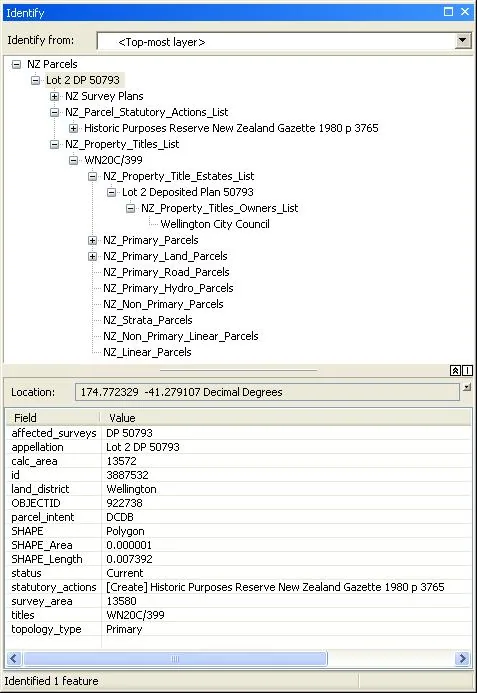
A combined best-available representation of properties from rating units, spatial titles and primary parcels.
LINZ introduced NZ Property Boundaries in July 2025 as a practical representation of properties. The layer preferentially uses rating units, with spatial titles or primary parcels where the preferred source is unavailable.
Sources · 1
These are mapped properties rather than survey-defined parcel boundaries. The distinction is important when working with planning, rates, landownership or cadastral datasets.