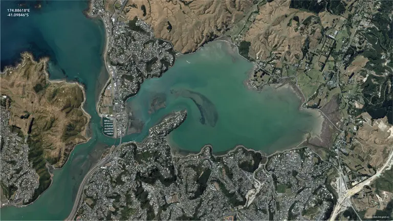
A. C. Shailes later described the Mangaweka road-rail deviation as one case in which computers generated or evaluated possible trail lines subject to engineering controls such as g…
3 linked passages · 2 relationships
Connected entries
Find people, organisations, projects and historical records.
Browse the complete alphabetical index of people, organisations and datasets →
1190 entries
A. C. Shailes later described the Mangaweka road-rail deviation as one case in which computers generated or evaluated possible trail lines subject to engineering controls such as g…
3 linked passages · 2 relationships
New Zealand Forest Service contributor based in Hokitika in the 1977 Landsat II report. Reid examined the potential use of Landsat imagery in Westland inventory proposals.
1 linked passage · 2 relationships
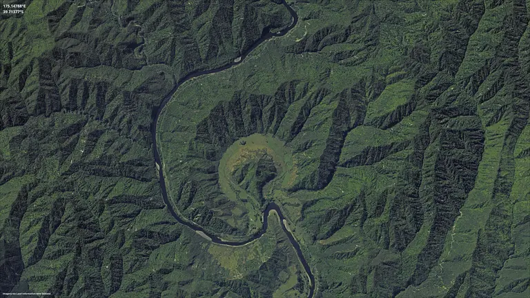
AAMHatch produced Wellington’s textured 3D city model in 2009, combining aerial imagery with a three-dimensional representation of the built environment. AAM’s New Zealand work als…
1 linked passage · 3 relationships
Aamir Bonamis worked on New Zealand Police’s ArcGIS Enterprise implementation in 2021 and co-presented the Police Geospatial Team’s FME case study in 2023. The presentation covered…
0 linked passages · 4 relationships
Aaria Dobson-Waitere developed GIS skills through conservation and mana whenua work in Te Whanganui-a-Tara. In 2017 she was the only New Zealand recipient among 15 Society for Cons…
1 linked passage · 5 relationships
Named contributor in sourced geospatial conference and publication records.
0 linked passages · 1 relationship
Named contributor in sourced geospatial conference and publication records.
0 linked passages · 1 relationship
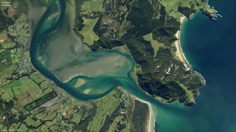
Abley’s company history gives two starting points. In 1996, Steve Abley’s final-year university project mapped Christchurch City pedestrian crossings for the city council; a transp…
2 linked passages · 8 relationships
Named contributor in sourced geospatial conference and publication records.
0 linked passages · 1 relationship
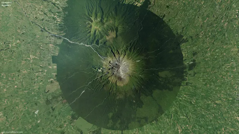
Nige Sheed and Jamie Burmeister established Adapt Solutions in 2007 after working together on a water-billing implementation in Auckland. Sheed’s earlier work at Timaru District Co…
1 linked passage · 5 relationships
Adrian Patchett’s geospatial record spans iwi cultural mapping and later statistical geography. A 2019 Geospatial Research Institute seminar named Patchett and Sean Bragg presentin…
1 linked passage · 6 relationships
Researcher whose 2002 master's work concerned GIS software engineering.
1 linked passage · 2 relationships
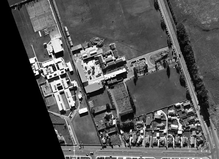
Aerial Surveys’ predecessors included GeoSmart and earlier aerial-photography and mapping businesses. The company produced photogrammetric mapping, digital imagery and later airbor…
0 linked passages · 3 relationships
Afaf Abbas of Opus International Consultants received an honourable mention at the 2012 Esri Asia Pacific User Conference in Auckland for the Auckland-Manukau Eastern Transport Ini…
1 linked passage · 0 relationships
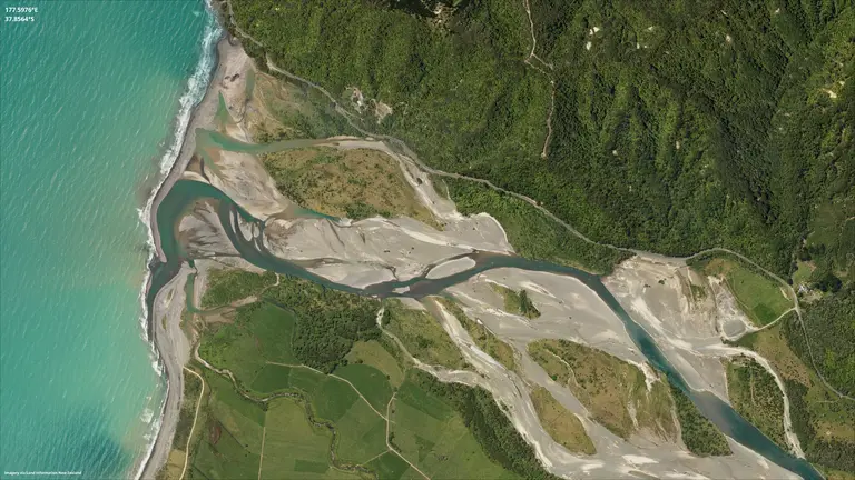
Pastoral-agriculture Crown research institute established in 1992.
2 linked passages · 6 relationships
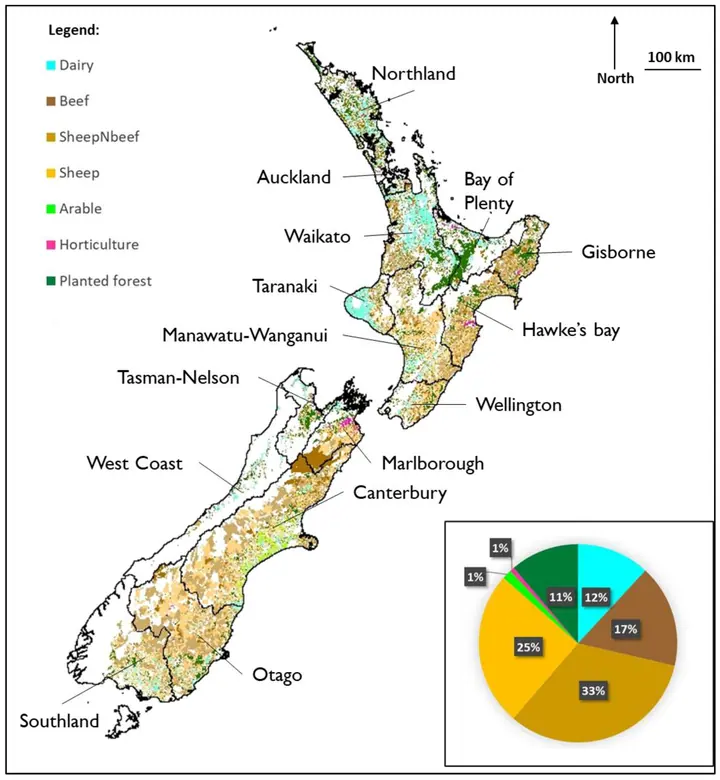
A September 2003 AgriBase input used in the CLUES land-use mapping work and harmonised with LCDB2.
1 linked passage · 1 relationship
A national agricultural farm-type dataset held as GIS spatial information around 2000.
0 linked passages · 2 relationships
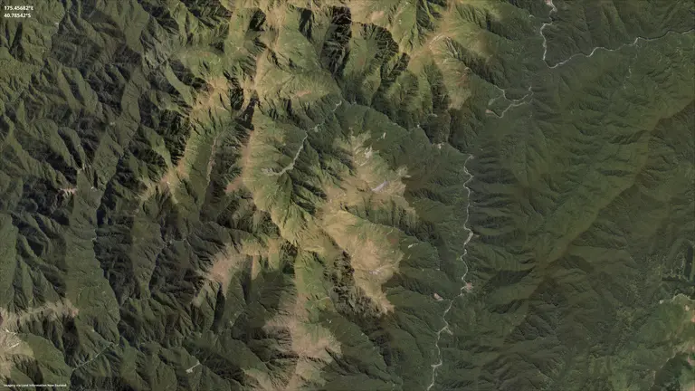
AgVice used GIS, digital farm plans, drones and web mapping in farm-environment and catchment work. Eagle’s Wai Kōkopu material documents ArcGIS, StoryMaps and Experience Builder i…
0 linked passages · 5 relationships
Researcher whose 2016 master's work concerned public space and equity.
1 linked passage · 2 relationships
Researcher whose 2021 master's work concerned Māori GIS; coastal hazards; sea-level rise.
1 linked passage · 2 relationships
Alaina Dalzell of Transpower presented a 2017 conference lightning talk on improving data quality by georeferencing substation assets. The example puts a named practitioner behind …
0 linked passages · 3 relationships
A LINZ geospatial student or graduate profile records Alan Scandrett: University of Auckland Geography Honours; LINZ 2016/17 and Watercare 2017/18 summer internships.
0 linked passages · 2 relationships
At GeoComputation '97 and SIRC '97 in Dunedin, Alan Thorn, Terry Daniel and Brian Orland described using GIS data to visualise New Zealand plantation-forest management scenarios. A…
2 linked passages · 2 relationships
Bruce McLennan, Albert Chong and Martin Purvis described the Taiaroa Head GPS survey for the northern royal albatross project at the 1994 Spatial Information Research Centre colloq…
1 linked passage · 2 relationships
Alec Mackay of AgResearch co-authored the 2010 Iwi Futures Land and Resource Evaluation paper with Garth Harmsworth of Landcare Research.
1 linked passage · 1 relationship
Aleksandra Lukovic is credited with digital capture for GNS Science’s 1:1 million Geological Map of New Zealand, alongside the map’s geological compilers and GIS cartographer.
1 linked passage · 3 relationships
A LINZ geospatial student or graduate profile records Alex Pasco: Geospatial Data Administrator, New Zealand Defence Force; University of Otago MAppSc GIS.
0 linked passages · 2 relationships
Named contributor in sourced geospatial conference and publication records.
0 linked passages · 1 relationship
ALGIM brought local-government information practitioners together across technology and information management. Its history traces roots to the ITMG in 1975 and the formal establis…
1 linked passage · 4 relationships
HortResearch researcher who presented geographic fruit-quality analysis at SIRC 2000.
1 linked passage · 2 relationships
Named contributor in sourced geospatial conference and publication records.
0 linked passages · 1 relationship
Alysia Barnes of the Ministry for Primary Industries presented the use of Survey123 for monitoring kauri dieback at the 2017 New Zealand Esri User Conference. The case is a named e…
0 linked passages · 4 relationships
Amanda MacDonald-Creevey was a GIS Analyst with Rayonier Matariki Forests when she presented the application of Sentinel-2 satellite data in forestry at the 2018 New Zealand Esri U…
0 linked passages · 3 relationships
A LINZ geospatial student or graduate profile records Amit Kokje: Senior Specialist (Geospatial Platform and Support), Auckland Council; previously Auckland Transport and Tauranga …
0 linked passages · 2 relationships
Named contributor in sourced geospatial conference and publication records.
0 linked passages · 1 relationship
Women in Spatial + Survey’s committee biography describes Amy Tay’s geospatial consulting on transport and infrastructure projects at Aurecon, including GIS services, FME, data tra…
1 linked passage · 3 relationships
Ana Krpo's 2004 Auckland University of Technology master's research developed a GIS model for runoff and contaminant loads in the Puhinui catchment, Manukau. The research used mapp…
1 linked passage · 1 relationship
LINZ and the Geospatial Capability Committee included Anataia van Leeuwen in the Leaving School geospatial career-profile series: Environmental Consultant, Tonkin + Taylor, October…
0 linked passages · 2 relationships
Named contributor in sourced geospatial conference and publication records.
0 linked passages · 1 relationship
Andrew Cardno is named as an author of “Using Middleware to Provide Geographic Information Systems (GIS) Based on Relational” in the proceedings of GeoComputation and SIRC at the U…
1 linked passage · 1 relationship
Andrew Cowie co-authored “Current status and future directions of mobile GIS” for SIRC NZ in 2013, with David Medyckyj-Scott and fellow contributors. Otago’s repository records the…
0 linked passages · 4 relationships
Researcher whose 2018 master's work concerned VGI and emergency management.
1 linked passage · 2 relationships
LINZ and the Geospatial Capability Committee included Andrew Douglas-Clifford in the Leaving School geospatial career-profile series: Cartographer & Geospatial Analyst, Tonkin + Ta…
0 linked passages · 6 relationships
Andrew Dunningham and S. Thompson published “Use of geographic information systems in New Zealand forestry applications” in the Commonwealth Forestry Review. Their paper described …
2 linked passages · 3 relationships
Andrew Ferrel appears in LINZ’s imagery and elevation work. LINZ’s 2014 Geospatial for Schools archive names him as National Imagery Manager, and the 2018 New Zealand Esri User Con…
1 linked passage · 7 relationships
Google Australia and New Zealand product manager, author of Google's 2 December 2008 Street View launch account.
1 linked passage · 1 relationship
Andrew Hare dates the beginning of his GIS career to 1996, when he worked in Brisbane for a marketing company. In his March 2025 career account he described twenty-nine years in th…
1 linked passage · 3 relationships
Named contributor in sourced geospatial conference and publication records.
0 linked passages · 1 relationship
As the minister responsible for the Marine and Coastal Area (Takutai Moana) Act, Andrew Little welcomed the public launch of Kōrero Takutai on 11 December 2019. The government rele…
1 linked passage · 1 relationship
Andrew Marr co-authored Local government GIS in New Zealand with George Benwell, published as a University of Otago working paper in 1995. The paper provides a contemporary researc…
2 linked passages · 5 relationships
Named contributor in sourced geospatial conference and publication records.
0 linked passages · 1 relationship
John Thyne, Byron Cochrane and Richard Wells had stood down; Derrick Williams, Andrew Shakes, Nenad Petrovic and Kurt Janssen were nominated and elected unopposed, while Marie Slak…
1 linked passage · 2 relationships
Andrew Smith is acknowledged for the Wellington Regional Council wildfire study and digital data supplied to a Chilton Saint James School vegetation-fire project. The February 2001…
1 linked passage · 3 relationships
Andrew Steffert described Horizons’ floodplain mapping and LiDAR programme, including its development after the 2004 floods.
1 linked passage · 6 relationships
Andrew Tait of NIWA co-authored the 2003 Hokianga and Western Kaipara crop-suitability report and contributed climate analysis.
1 linked passage · 1 relationship
Technical correspondence described GeoServer and OpenLayers use by 2009, and Andrew Watkins’s work with GeoNetwork in 2010.
1 linked passage · 2 relationships
Andy Gilmour co-authored the 2008 chapter Developing Geographical Information Systems and Crime Mapping Tools in New Zealand with Jill Barclay. The publisher identifies a New Zeala…
1 linked passage · 3 relationships
Named contributor in sourced geospatial conference and publication records.
0 linked passages · 1 relationship
Named contributor in sourced geospatial conference and publication records.
0 linked passages · 1 relationship
Named contributor in sourced geospatial conference and publication records.
0 linked passages · 1 relationship