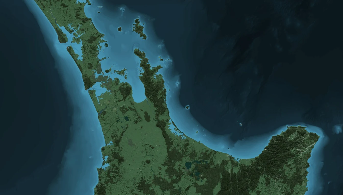
Open-licensed LINZ TileMill/PostGIS recipe and imagery for rebuilding a New Zealand natural-colour terrain basemap with Topo50, LCDB3.3 and the 8 m elevation model.
In 2013 LINZ released a GitHub repository of styles, source instructions and texture files for reconstructing its natural-colour and graphite New Zealand terrain basemaps. The archive contains a TileMill project, auxiliary CartoCSS, layer metadata and two representative images; its README releases the project under Creative Commons Attribution 3.0 New Zealand.
The workflow assembled national LINZ Topo50 vector features, Manaaki Whenua's LCDB 3.3 land cover, the national 2012 8 m DEM and an associated hillshade. It describes PostgreSQL/PostGIS preparation, QGIS/GDAL conversion, virtual raster mosaics and rendering in TileMill. The historical instructions referenced 115 elevation and hillshade source tiles and record the earlier 3.5 GB LINZ Data Service download constraint.
This was an open LINZ basemap-reconstruction project, not the same dataset as Geographx's commercial 4 m Photoshop basemap. Both belong to the period when national height models and colour land-cover mapping became practical online GIS backdrops. LINZ's preserved 2013 map preview and colour-bathymetry image are reused on this site's dataset cards with the original Crown attribution.
Sources · 2
- LINZ, linz_basemaps 2013 reconstruction source, data inputs, TileMill workflow and CC BY 3.0 NZ terms
- Roger Smith, Designing Raster Base Maps with Photoshop, 8th Mountain Cartography Workshop, 2012, pp 101–106
Related source links · 3
Sources and further reading · 3
- LINZ, linz_basemaps 2013 reconstruction source, data inputs, TileMill workflow and CC BY 3.0 NZ terms
- LINZ Data Service, NZ 8 m Digital Elevation Model (2012)
- Roger Smith, Designing Raster Base Maps with Photoshop, 8th Mountain Cartography Workshop, 2012, pp 101–106